Cropwat calculates the amount of water needed for the irrigation of crop fields.
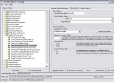
Soil Data Viewer allows a user to create soil-based thematic maps.
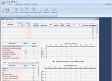
It is a bearing capacity program that provides a series of geotechnical modules.
Software tool to display approximate wetting patterns from drippers.
Provides a simple tool to consult the data contained in the HWS database.